Abortion Laws: Interactive State Map
 fajarbudi86/Pixabay
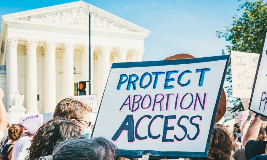
This interactive map tracks abortion bans, restrictions, and protections, updated in real time. The site, run by the Center for Reproductive Rights, also explains today’s anti-abortion laws in depth and reports on the laws’ results on the ground. This information has become even more critical since the U.S. Supreme Court overturned Roe v. Wade in June 2022 and ended that ruling’s federal protections of abortion rights. Many states now restrict or entirely prohibit abortion access. At the same time, in a handful of states, activists have succeeded in expanding abortion access.
“‘After Roe Fell: Abortion Laws by State’ examines laws, constitutions, and court decisions on abortion—and assigns each state, territory, and the District of Columbia to one of five categories: Expanded Access, Protected, Not Protected, Hostile, and Illegal. Click through this tool to learn about all the bans and restrictions currently on the books in each state. This tool is updated in real time.”